A mule named Jigs took me to places I had never visited. His sure feet led me up and down rocky trails, sandy trails, steep trails, wet trails, and by beautiful reflective lakes and high granite mountains in northern Yosemite and the Hoover Wilderness.
Where: Yosemite National Park, Toiyabe National Forest, Hoover Wilderness
Distance: 56.3 Miles
Difficulty: Moderate to Difficult
Elevation Range: 7,159′ – 11,125′
Elevation Gain: 10,445′
Date: August 15-22, 2022
CALTOPO: 8 Day Pack Trip Virginia Lakes to Twin Lakes
Dog Hike? No
I drove across Tioga Road, then up Hwy 395 toward Bridgeport, after making a stop at Mono Cone for lunch. We needed to be at the Virginia Lakes Pack Station at 7 am to drop off our gear and I wanted to make sure I knew where I needed to be so I stopped by the Pack Station on my way to my hotel at Bridgeport. With their help, I refined my gear a bit and headed to Bridgeport for the evening. Up bright and early the first day of our adventure, I was the first guest there and after putting my gear in the area for our pack string wranglers, Jeremiah and Sam, to load I ate a hearty breakfast that the Pack Station had ready for us. The other 5 guests soon started arriving and I met our wrangler/cook Penny who would guide us guests. They had sack lunches for us to pick up on way up to where the horses and mules were gathered.
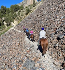 As the wranglers loaded our gear and supplies for the 8 day adventure, Penny went over safety rules then one by one, we got into the saddle to make sure our saddles and stirrups fit us. It wasn’t long before we headed up the trail through Virginia Lakes then passing by several beautiful lakes such as Blue Lake (10,057′ elevation), Cooney Lake (10,374′ elevation) and Frog Lakes (10,400′ elevation) before stopping above Summit Lake (10,185′ elevation) for lunch.
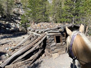
And by an old miner’s cabin where I could see diggings nearby.
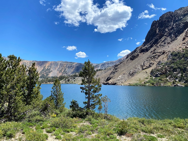
As the trail passed through a summit then through a rocky section, I spotted some columbines blooms still hanging in there and heard pika calling. After a bunch of looking I finally spotted one not 2 feet along the trail beside me. The trail then led us along Summit Lake (10,267′ elevation).
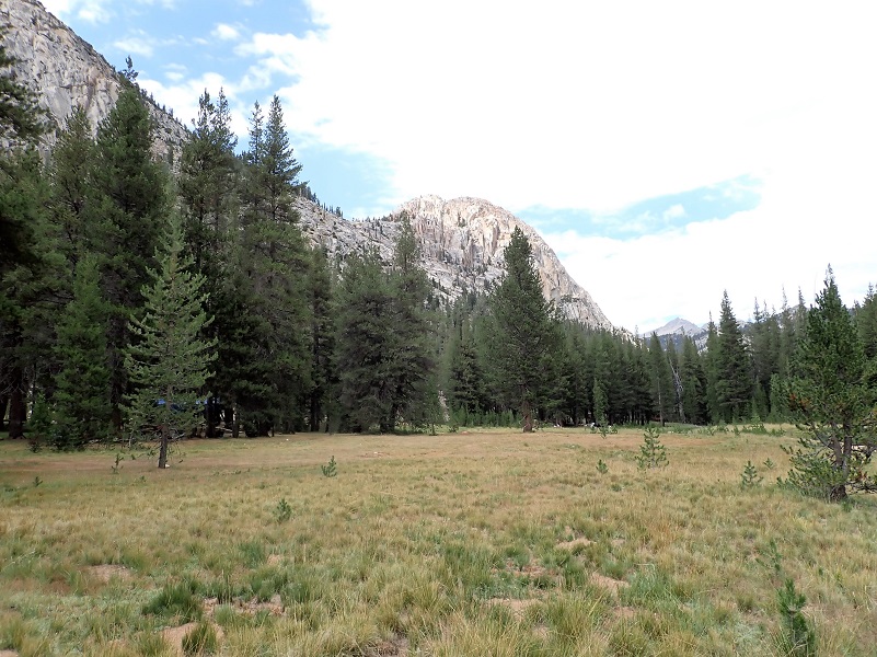
A grassy meadow adjacent to Return Creek was our campsite for two nights, with a layover day the next day when I hiked (but more about that on the blog).
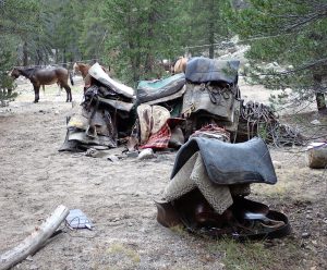
The wranglers unloaded our gear and took care of the stock, some which were highlined and others grazed.
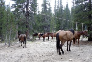
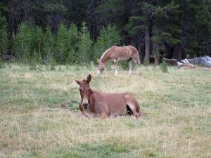
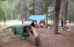
Our kitchen was set up and Penny started whipping up a delicious dinner for our group. She performed magic and that is the best way I can describe it. A couple of the guests were vegetarians and she cooked to accommodate all of our needs. Hors d’oeuvres were out before dinner for us to nibble on and she prepared delicious meals each night after riding all day.
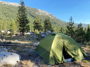 We set up our tents, which were a bit of a challenge that first night and I don’t want to brag, but by the end of the trip we got pretty darn good at setting them up.
The next morning after a hot, hearty breakfast, we packed our lunches, stuffing them in our hornbags while the wranglers loaded the pack animals and saddled our stock. We helped Penny pack the kitchen up and we headed down the trail while the wranglers finished packing the animals.
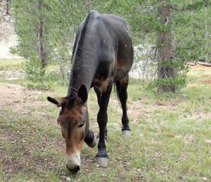
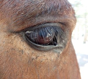
And speaking of heading down the trail, it is time to introduce you to Jigs, the mule that I rode. I couldn’t have asked for a better animal to ride on these trails. His feet was sure, his temperament was forgiving and wanting to please, except when I went down the wrong way on a trail which he clearly let me know. He had been on these trails many times and obviously knew the way well. Doesn’t he have kind eyes?
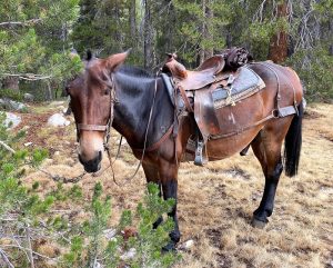
Our pack strings usually passed us by at our lunch break, making it into our next campsite before we did to start getting everything unloaded and set up.
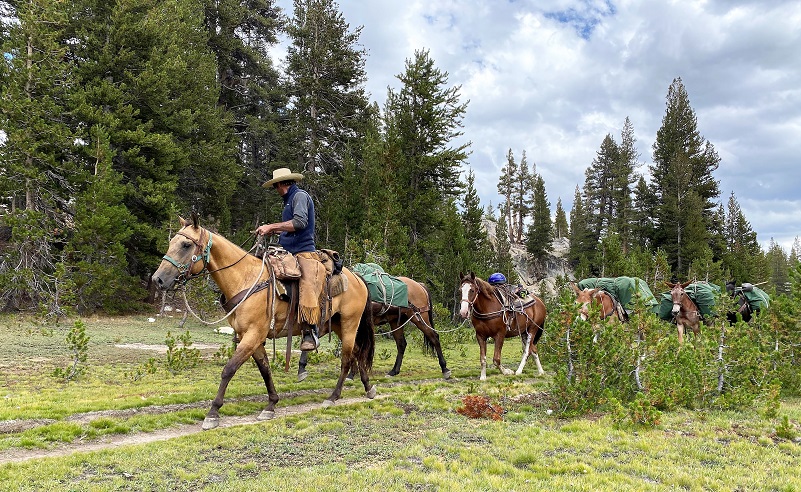
Heading down the trail, I never knew what sights the trail would place in front of me.
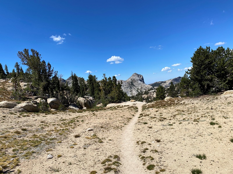
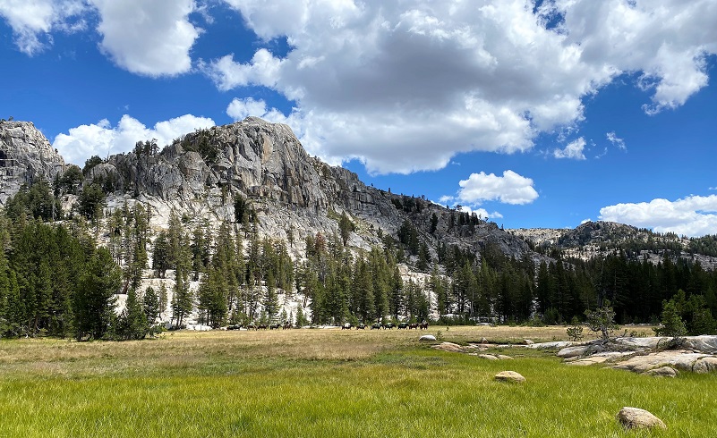
On our fourth night, we camped at Smedberg Lake (9,248′ elevation) and had a layover day. Yosemite Place Names says that it was named by Lt. H. C. Benson in 1895 for Lt. William Renwick Smedberg, Jr., Fourth Cavalry, US Army, who was on duty in the park that year. What a beautiful lake, bordered by granite slabs near our campsite that worked perfectly for laying out on after a quick dip in the chilly water.
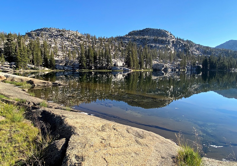
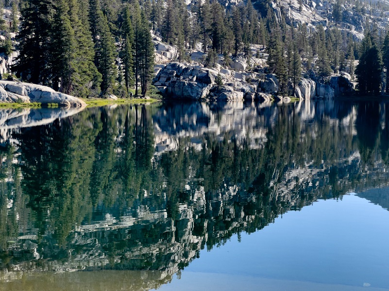
Photo by Irvin Owens Jr.
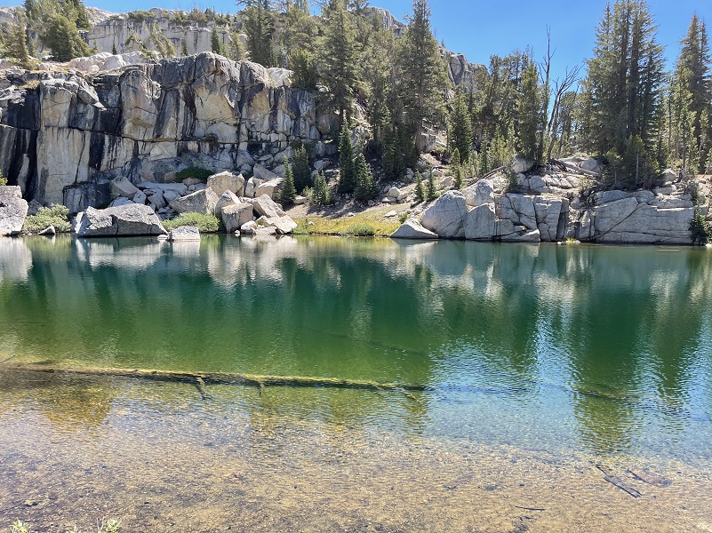
Photo by Irvin Owens Jr.
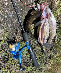 So I did a little fishing . . . and a little catching that included a couple of 12″ rainbow trout that Penny cooked up for hors d’oeuvres.
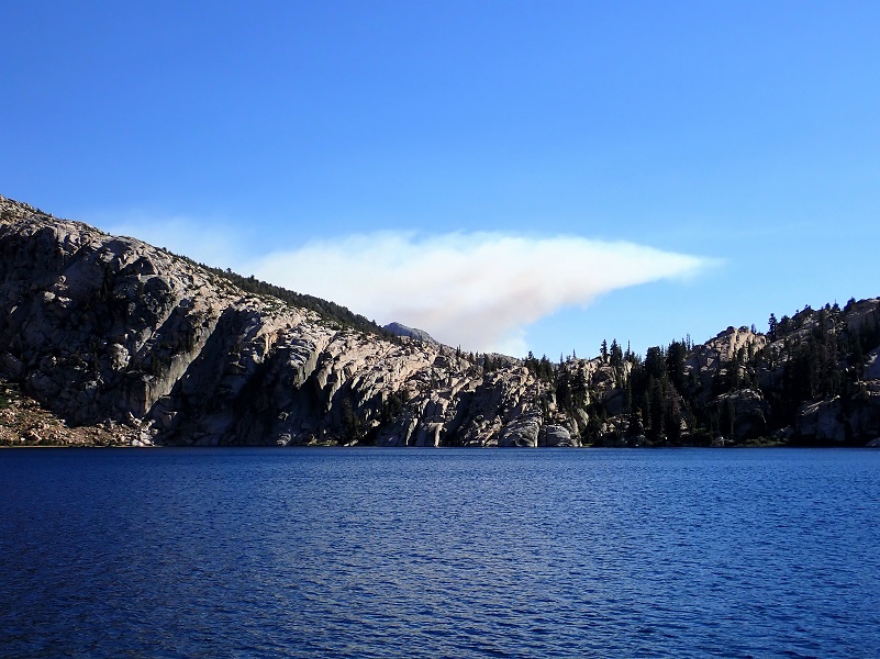
Next stop was Benson Lake (7,592′ elevation) with its beautiful sandy beach. And that beach was also wonderful to lay down on after wading in the cool water. I say wading because I couldn’t quick muster up the courage to get fully wet in it. The wind was up a bit when we arrived and the lightening-caused Rodgers Fire was burning about 3.5 miles away, occasionally putting up a little smoke to the southwest of us. From Yosemite Place Names, the lake is named for Harry Coupland Benson, Army officer, stationed in Sequoia National Park who was Acting Superintendent of Yosemite National Park 1905-1908. He acquired the nickname of “Batty” Benson because of his fanatical devotion to duty. He developed many trails in Yosemite and you might be able to see the old “HS” on tree blazes north of the Tuolumne River that were cut by Benson’s troops.
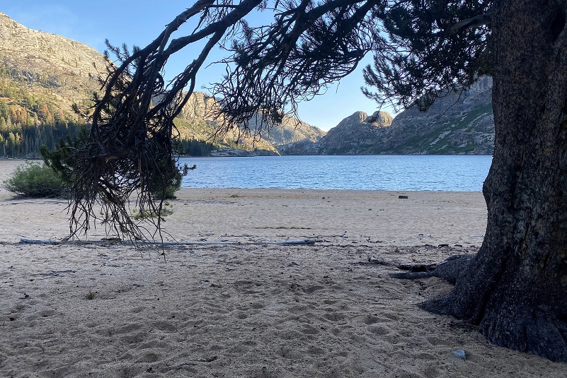
We had been seeing drift smoke from the Rodgers Fire but later that evening the smoke started encroaching in on our camp some but by the morning the winds were calm and smoke had traveled to a different area.
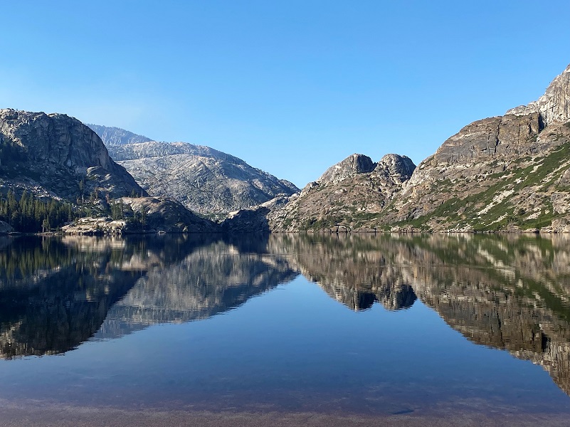
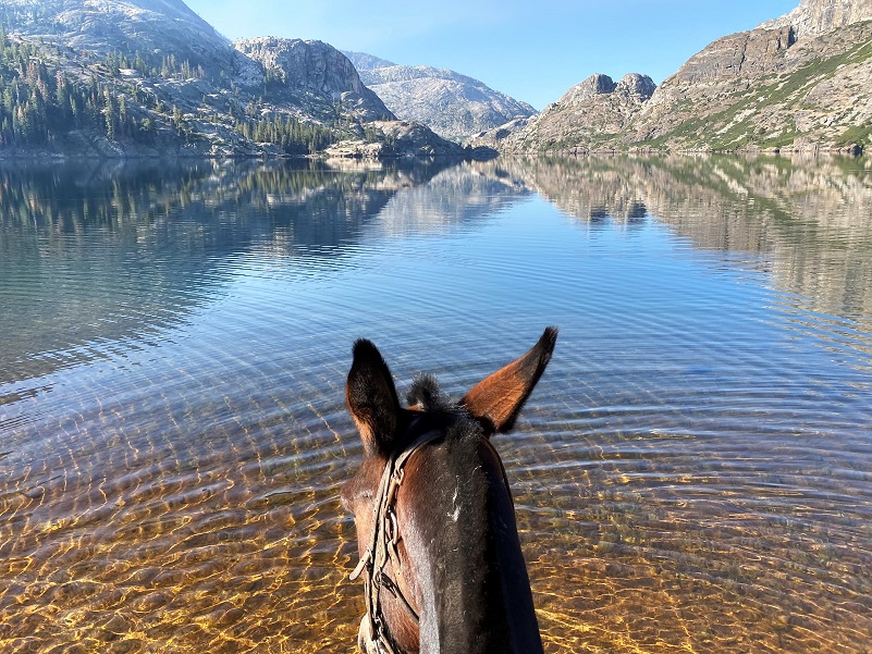
On our seventh day, we headed out and over Seavey Pass (9,058′ elevation), named by R. B. Marshall of the USGS for Clyde L. Seavey. Through his life, he served on the State Board of Control, the State Civil Service Commission, the State Railroad Commission and the Federal Power Commission. The trail led along several small, pretty little lakes as we wound our way through the granite. I couldn’t capture the winding through the granite part because I needed to keep my attention on the trail.
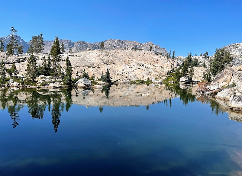
Photo by Irvin Owens Jr.
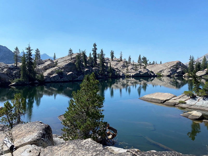

Photo by Irvin Owens Jr.
Then the trail evened out as we had Kerrick Meadows in sight. It is named for James D. Kerrik who took sheep into the mountains around 1880.
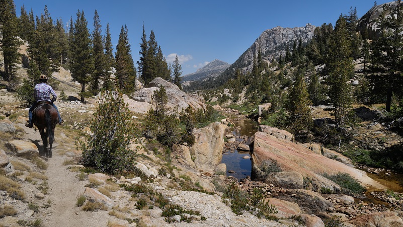
Photo of Me and Jigs by Irvin Owens Jr.
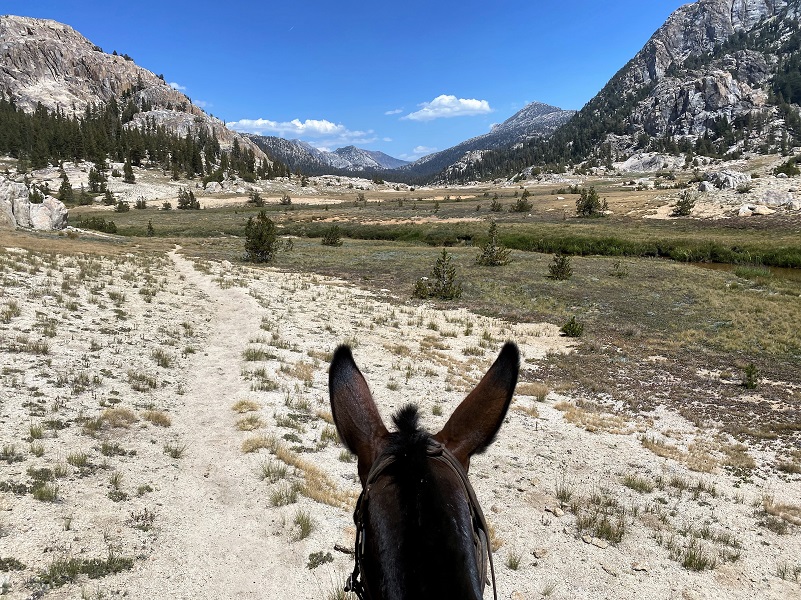
Stopping at the lower meadow for lunch, we watched the mules passing us by. While we took a break from the saddle, I checked out wildflowers.
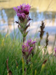
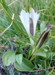
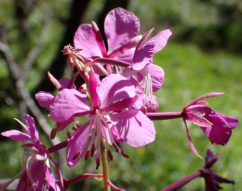
We had planned to stay in Kerrick Meadow but had made good time so we headed up to Peeler Lake (9,508′ elevation) and after the stock dropped our supplies, they headed back down to the meadow for the night. Peeler Lake is named after Barney Peeler (1833-1920) of Bridgeport.
That evening the smoke started encroaching in on our camp some but by the morning the winds were calm and smoke had traveled to a different area.
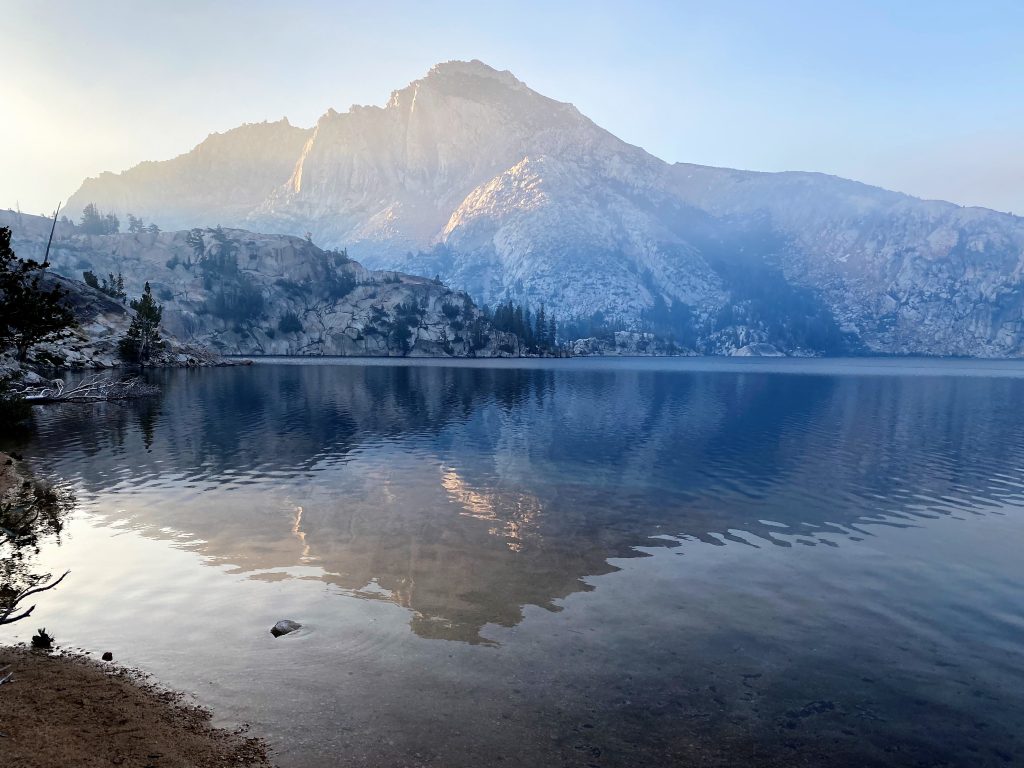
We headed down the trail, passing by Barney Lake (8,285′ elevation) also named for Barney Peeler. We started encountered many more hikers and larger groups of hikers than we had seen the entire trip.
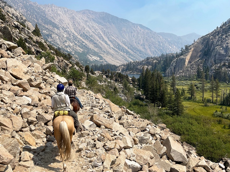
Photo by Irvin Owens Jr.

Photo of Me and Jigs by Irvin Owens Jr.
When we reached the east side of Twin Lakes, the wranglers were already loading up the stock trailers and the Virginia Creek Pack Station had cold drinks and watermelon waiting for us. They drove us back to Virginia Lakes Pack Station where our vehicles were left and after goodbyes, we all headed our separate ways.
This was not an easy ride. We had a little rain and thunder on a couple of rides, sometimes making the trail a bit slick. One of the days, we led our animals down the trail because the footing was not good on that loose slope. A couple of people had falls from their horse, both from saddle misfunctions, but luckily they didn’t get hurt. One night some of the stock decided to head back to a previous campsite where the grass was very lush so we took one of our layover days at different place than originally planned. After some very hard work on the part of our amazing wranglers in some tough terrain, they caught up with and were able the get the stock back.
In case you are wondering about the relationship between Rock Creek Pack Station and Virginia Creek Pack Outfit,they are both owned and operated by the Rock Creek Pack Station, along with Cottonwood Pack Station. They offer all kinds of trips along the Southern Sierra and of varying lengths. Along with the type of ride I went on, they can also haul your stuff to where you wish while you hike, along with trips targeting hiking, riding, fishing and photography. Horse drives, mustang rides, day rides or many other horse adventures are their specialty.
Doarama:
What is a Doarama? It is a video playback of the GPS track overlaid on a 3 dimensional interactive map. If you “grab” the map, you can tilt it or spin it and look at it from different viewing angles. With the rabbit and turtle buttons, you can also speed it up, slow it down or pause it. This is the first time that I have combined tracks from 8 days into a Doarama and it tends to hang up after each day’s tracks a bit. If this happens to you, just drag the red bar a bit to the right and it will start back on its way.
8 Day Pack Trip with Stock Virginia Lakes to Twin Lakes Doarama
Maps:
CALTOPO has some free options for mapping and here is a link to my hike this week, which you can view or download: CALTOPO: 8 Day Pack Trip Virginia Lakes to Twin Lakes

8 Day Pack Trip with Stock Virginia Lakes to Twin Lakes Topographic Map
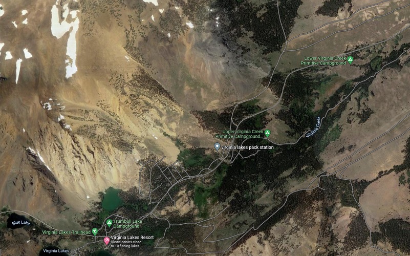
Virginia Lakes Pack Outfit Google Earth Image

Virginia Lakes Pack Outfit Location Map
Profiles:

8 Day Pack Trip with Stock Virginia Lakes to Twin Lakes Day 1 Profile

8 Day Pack Trip with Stock Virginia Lakes to Twin Lakes Day 3 Profile

8 Day Pack Trip with Stock Virginia Lakes to Twin Lakes Day 4 Profile

8 Day Pack Trip with Stock Virginia Lakes to Twin Lakes Day 6 Profile

8 Day Pack Trip with Stock Virginia Lakes to Twin Lakes Day 7 Profile

8 Day Pack Trip with Stock Virginia Lakes to Twin Lakes Day 8 Profile
Sources:
Rock Creek Pack Station
Virginia Lakes Pack Outfit
Fly Fishing in the Sierra
Browning, Peter, Yosemite Place Names, Great West Books, Lafayette, CA, 1988
Peeler Lake Wikipedia
Credit: Source link


